
What is the
Mapa de Costas?


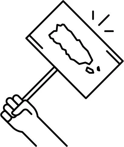
The Mapa de Costas of PR project is an interactive digital tool that aims to highlight information about sales, destruction of beaches, and the entire ecosystem that makes up a very important part of the islands of Puerto Rico. It highlights the magnitude of privatization occurring on the coasts.
The new version of the Mapa de Costas
During 2023 we launched the first version of the Mapa de Costas of PR which was updated with new categories to expand the types of complaints we can make.
The map has several layers of important information, such as coastal and marine reserves in Puerto Rico. It is programmed so that if a complaint is located within a reserve, that reserve is colored red. We have called this “reserves on alert.” It also has the official reference line for the maritime-terrestrial zone created by the DRNA in 2023.
Lo más relevante de la actualización del Mapa de Costas
There is no closing date for the map; it is open to receive your reports.
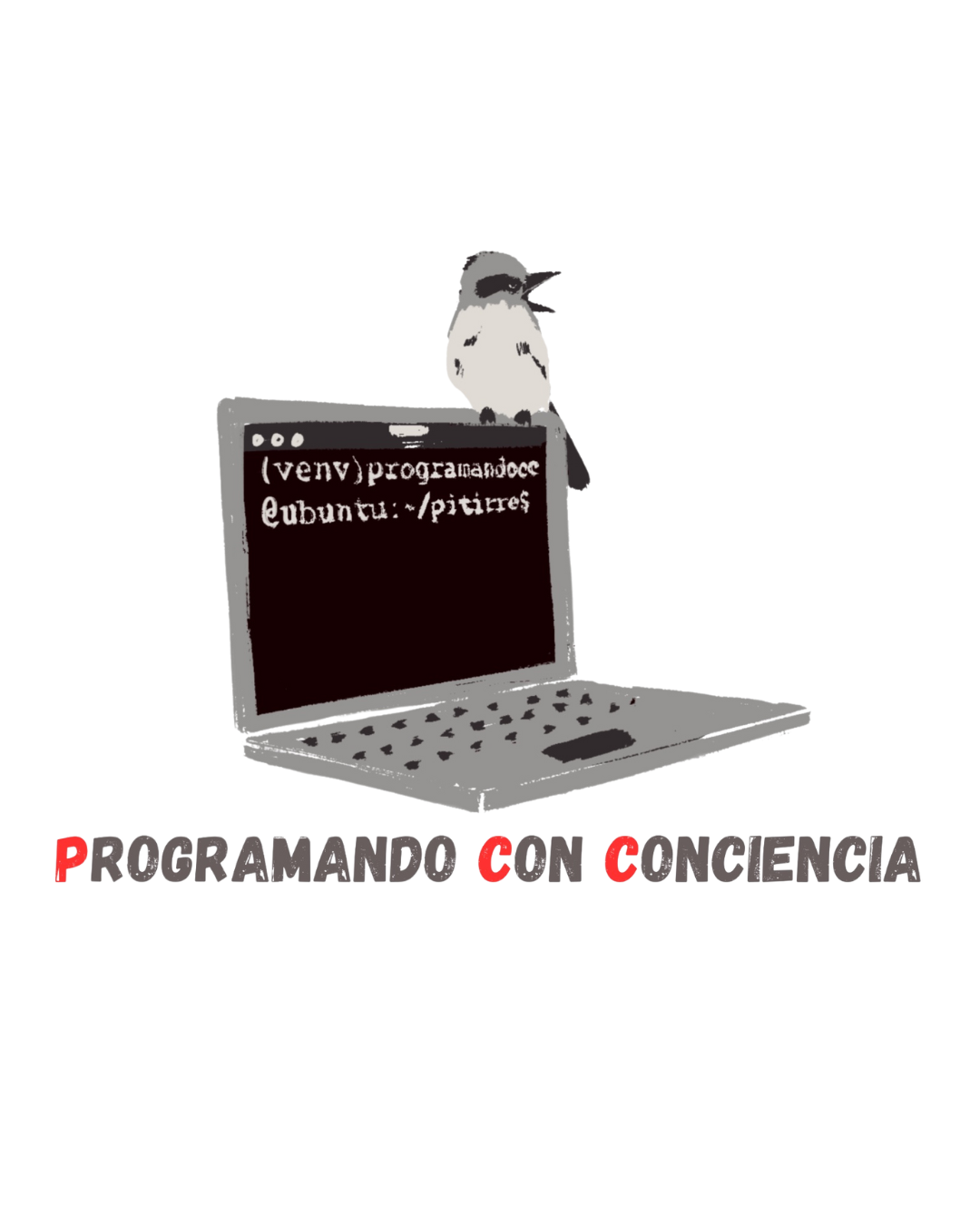
In version 2.0, we have joined forces with Programando con Conciencia to streamline the complaint validation process and expand the layers of information.
Se nos acaba el tiempo. Únete a defender nuestra naWe're running out of time. Join us in defending our coast ecosystems.
How to use the Mapa de Costas 2.0?
If you have questions about how to use the reporting tool, the following video tutorial will show you how to use it.
Here you can see the number and type of complaints entered into the coastal map.
Construction

Closure or blocking of access

Discharges (wastewater, oils, contaminated)

Sale

Official signs or posters from government agencies

Use of motor vehicles on the sand

Other
Removal of vegetation/terrain

Abandoned structures

Debris and/or illegal dumps